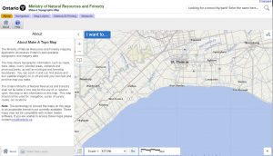
“The Ministry of Natural Resources and Forestry mapping application showcases Ontario’s best available topographic and imagery data.
The map shows topographic information, such as roads, trails, lakes, rivers, wooded areas, wetlands and provincial parks, as well as municipal and township boundaries. You can zoom in and out, find places and turn satellite imagery on or off and add your own text and print the map you make.”
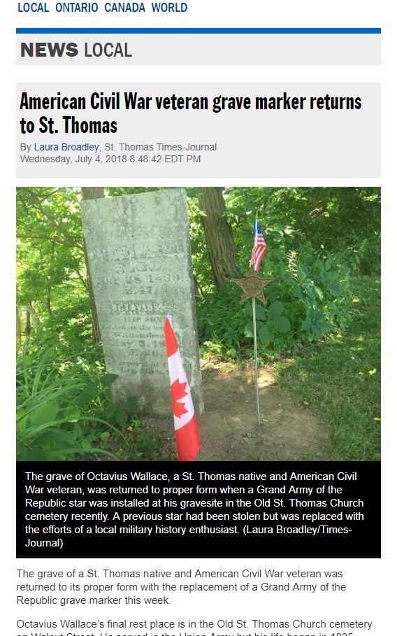
Elgin County Topo area on the Ontario MNR site